Unveiling the Serengeti’s Geological Wonders
Serengeti National Park, spanning 14,750 km² in Tanzania, is a geological marvel shaped by billions of years of tectonic activity, volcanic eruptions, and erosion. From the volcanic Crater Highlands to the ancient granite kopjes, its landscapes support the Great Migration and diverse wildlife. Kilisherpas Travel, with expertise from 1000+ Kilimanjaro ascents since 2021, guides you through the Serengeti’s geological features for your 2025 - 2026 safari, revealing how its rivers, soils, and hills create a unique ecosystem.
Geological Overview
The Serengeti lies on East Africa’s high interior plateau, sloping from the Crater Highlands (3,636m) to Speke Gulf on Lake Victoria (920m). Its geology is tied to the East African Rift, where tectonic plates diverge, forming the Rift Valley and volcanoes like Ol Doinyo Lengai (“Mountain of God” in Maa), the region’s only active volcano (last erupted 2013). This dynamic rift system, one of Africa’s youngest geological features, contrasts with the continent’s ancient 4-billion-year-old crust, visible from the air when landing at Kilimanjaro International Airport (JRO).
Key Geological Features
Rivers
The Serengeti is drained by several river catchments, shaping its undulating plains.
Major Rivers:
Mara River: The only permanent river, flowing from Kenya’s Mau forests through northern Serengeti to Lake Victoria via Masarua marshes. Supports dense riverine forests, vital for Great Migration crossings (Jul–Oct).
Grumeti and Mbalaget Rivers: Form the Western Corridor; seasonal flows host dramatic crossings (May–Jun).
Duma, Simiyu, Semu Rivers: Smaller, seasonal streams in Maswa Game Reserve, feeding southern plains.
Impact: Rivers carve the landscape, support wildlife, and create Migration bottlenecks for predator-prey action.
Kilisherpas Tip: Book a northern Serengeti safari in July–August to see Mara River crossings
Hills and Mountains
Bands of hills rise from the flat plains, adding topographic diversity.
Key Ranges:
Northeastern Hills: From Grumechen to Kuko, linking to Kenya’s Loita Hills.
Gol Mountains: East of the park, rising from the plains.
Central Ranges: Stretch west from Seronera along the Western Corridor.
Nyaraboro-Itonjo Plateau: Southern hills, bordering Maswa.
Impact: Hills provide vantage points for predators and scenic backdrops for safaris.
Kilisherpas Tip: Visit Seronera for central hill views or Gol Mountains for remote exploration.
Soils and Volcanic History
Western Serengeti: Ancient Precambrian rocks (600M–2.5B years old), including volcanic rocks, banded ironstones, and granites. Covered by late Precambrian sediments forming central/southern hills.
Eastern Serengeti: Granite and quartzite form hills and kopjes. Volcanic ash from Pleistocene eruptions (e.g., Ngorongoro, Ol Doinyo Lengai) creates mineral-rich, shallow soils with a caliche hardpan (cemented lime layer) due to salts (sodium, potassium, calcium) washed down during rains.
Western Corridor: Recent alluvial sediments yield nutrient-rich, deeper soils.
Northwest/Woodlands: Deeper, silty soils due to higher rainfall; soil catena (gradient from sandy ridge-top soils to poorly drained silts) forms from runoff.
Impact: Nutrient-rich eastern soils support short-grass plains, fueling the Migration’s calving season (Dec–Mar).
Tip: Fly into JRO for aerial views of the ancient plateau and volcanic scars.
Kopjes
Formation: Granite bubbles from the late Precambrian Tanganyika Shield, exposed as softer rocks erode. Weathered by sun and wind into rounded, jagged shapes.
Significance: Known as “islands in a sea of grass,” kopjes offer:
Protection from bushfires.
Water retention for plants.
Hiding spots and vantage points for predators (lions, cheetahs, leopards).
Habitat for unique species (insects, lizards, shrews, mice).
Wildlife Hotspot: Lions often rest on kopjes; best spotting in Seronera or eastern plains.
Kilisherpas Tip: Join a Seronera game drive for kopje-based lion sightings.
The East African Rift’s Role
Geological Context: The Rift’s diverging plates created the Rift Valley and volcanoes like Kilimanjaro, Mount Meru, and Ol Doinyo Lengai. Ngorongoro Crater, a caldera, formed from collapse, not eruption, unlike its explosive neighbors.
Volcanic Influence: Ash deposits enriched eastern Serengeti soils, supporting lush grasslands for wildebeest and zebras during calving (Jan–Feb).
Activity: Ol Doinyo Lengai’s ongoing eruptions (last in 2013) add dynamic geology to the region.
Why Explore Serengeti Geology with Kilisherpas Travel?
Expert Guides: Share insights on kopjes, soils, and volcanic history during game drives.
Custom Safaris: Visit geological hotspots like Seronera or Ndutu
Balloon Safaris: Aerial views of kopjes and plains (~$599 ).
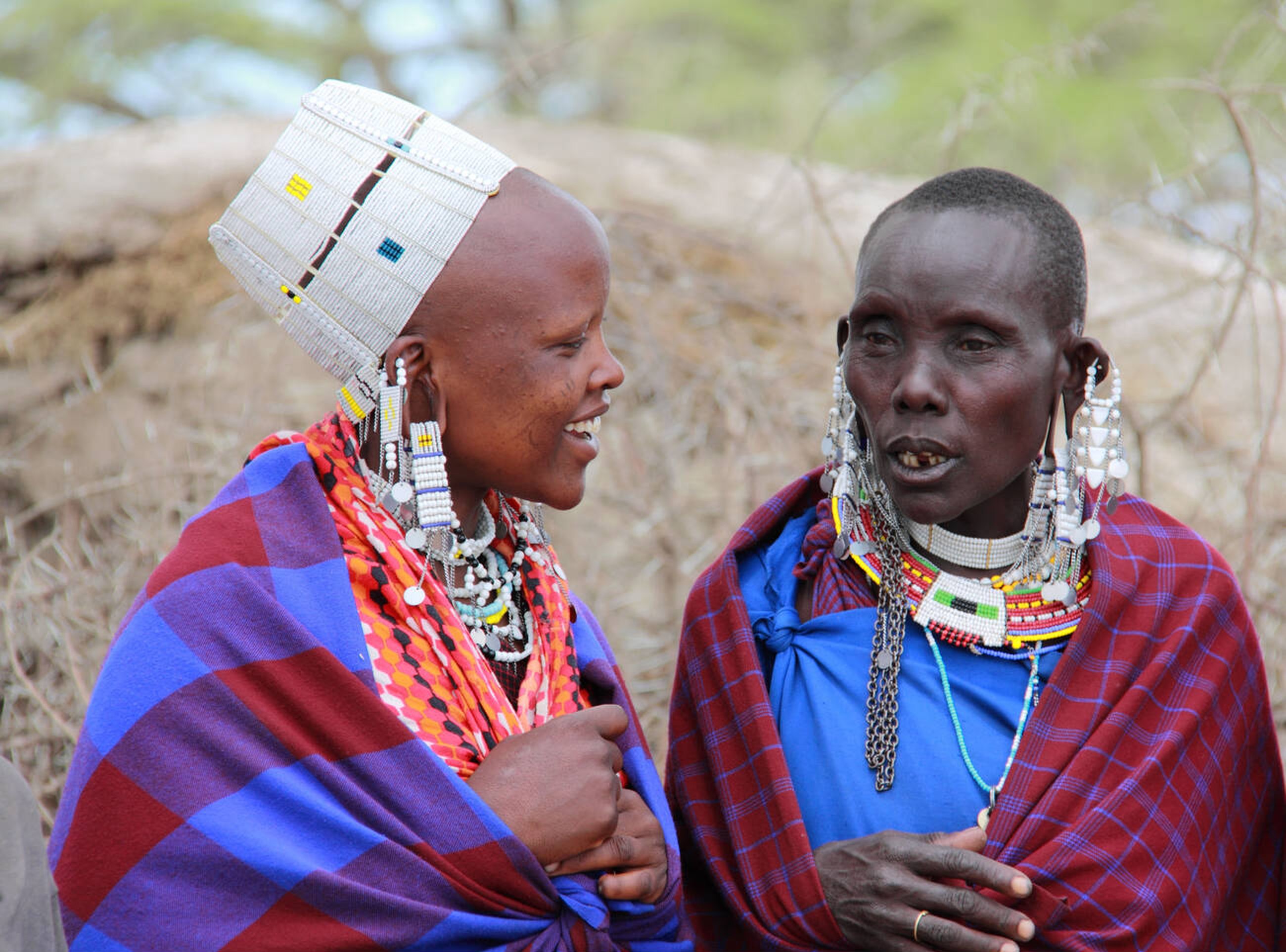
Cultural Tie-In: Learn about Maasai connections to Ol Doinyo Lengai
Ready to Discover Serengeti’s Geology in 2025 - 2026?
From ancient kopjes to volcanic soils, Serengeti’s geology shapes its iconic landscapes and wildlife. Kilisherpas Travel crafts immersive 2025 - 2026 safaris to explore these features. Book your adventure, explore our safari tours,


