Tanzania is one of the most fascinating countries in East Africa, known for its breathtaking landscapes, world-class wildlife safaris, and rich cultural diversity. From the vast plains of the Serengeti to the tropical beaches of Zanzibar, Tanzania is a destination that attracts travellers from all over the world.
But where exactly is Tanzania located on the map of Africa, and what makes its geography so unique? This complete guide by Kilisherpas Travel explains everything you need to know, including its location, borders, climate, landscapes, and travel essentials.
Geographic Location of Tanzania
Tanzania is located in East Africa, just south of the Equator. Its approximate coordinates are:
Latitude: 6.3690° S
Longitude: 34.8888° E
This strategic position places Tanzania at the heart of East Africa, connecting the Indian Ocean coastline with the interior of the African continent.
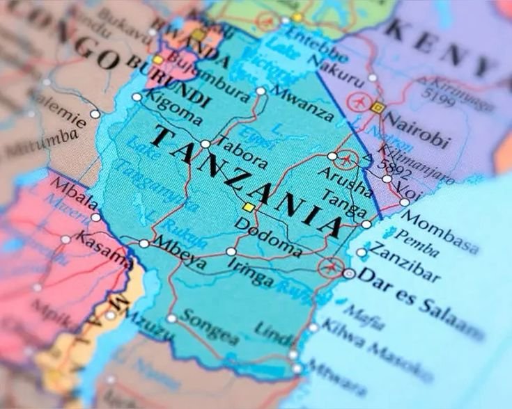
Tanzania on the African Map (Borders)
Tanzania shares borders with eight countries and the Indian Ocean, making it a key regional hub for trade and tourism.
North: Kenya and Uganda
West: Rwanda, Burundi, and the Democratic Republic of the Congo
Southwest: Zambia
South: Malawi and Mozambique
East: Indian Ocean (about 1,400 km of coastline)
This long coastline gives Tanzania access to beautiful beaches, ports, and marine biodiversity, especially around Zanzibar.
Size and Geography of Tanzania
Tanzania is the largest country in East Africa, covering approximately 947,303 square kilometres. It includes both mainland Tanzania and several islands.
Major islands include:
Zanzibar Archipelago (Unguja and Pemba)
Mafia Island
Major Landscapes in Tanzania
Mount Kilimanjaro, the highest mountain in Africa (5,895 meters)
Serengeti National Park, famous for the Great Migration
Ngorongoro Crater, a UNESCO World Heritage Site
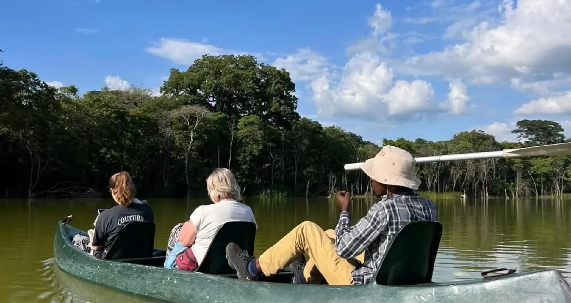
Great Rift Valley lakes, including Victoria, Tanganyika, and Nyasa
Southern national parks such as Ruaha and Nyerere
These diverse landscapes make Tanzania one of the most scenic countries in Africa.
Climate and Regions of Tanzania
Tanzania has a wide range of climates due to its large size and varied geography.
Coastal Region
A hot and humid tropical climate influenced by the Indian Ocean. This region is ideal for beach tourism and marine activities.
Highlands
Cooler temperatures, ideal for agriculture such as coffee and tea farming.
Central Plateau
Semi-arid and dry, with savannah landscapes and sparse vegetation.
Lake Regions
Fertile areas around major lakes that support agriculture and dense settlements.
Key Facts About Tanzania
Official Name: United Republic of Tanzania
Capital City: Dodoma
Largest City: Dar es Salaam
Official Languages: Swahili and English
Currency: Tanzanian Shilling (TZS)
Population: Over 60 million people
Time Zone: East Africa Time (UTC+3)
Independence: 1961
Driving Side: Left
Why Tanzania is a Top Travel Destination
Tanzania is one of the leading safari and adventure destinations in the world due to its natural and cultural attractions.
World-Class Safari Parks
Serengeti National Park (Great Migration)
Ngorongoro Conservation Area (Big Five safari destination)
Tarangire National Park (large elephant populations)
Lake Manyara National Park (tree-climbing lions)
Ruaha and Nyerere National Parks (remote wilderness experiences)
Mount Kilimanjaro
Africa’s highest peak and one of the world’s most iconic trekking destinations. It attracts climbers from all continents.
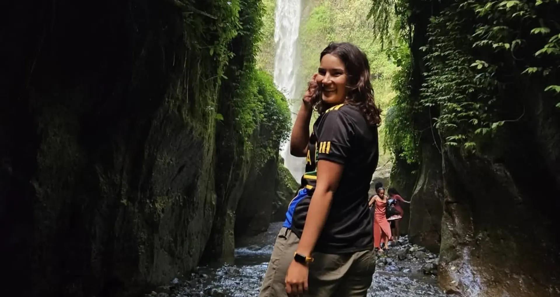
Zanzibar Islands
Famous for white sandy beaches, turquoise waters, coral reefs, and the historic Stone Town, a UNESCO World Heritage Site.
Cultural Diversity
Tanzania is home to more than 120 ethnic groups, including the Maasai, Chaga, Sukuma, and Hadzabe communities, each offering unique traditions and cultural experiences.
How to Get to Tanzania
By Air
Main international airports include:
Julius Nyerere International Airport (Dar es Salaam)
Kilimanjaro International Airport (Arusha/Moshi)
Zanzibar International Airport
Direct and connecting flights are available from Europe, the Middle East, Asia, and other African countries.
By Land
Major border crossings include:
Namanga (Kenya–Tanzania)
Rusumo (Rwanda–Tanzania)
Tunduma (Zambia–Tanzania)
By Sea
Ferries operate between Dar es Salaam and Zanzibar, and coastal connections are available from nearby regions.
Entry Requirements
Most travellers require a visa to enter Tanzania. Options include:
Visa on arrival at major airports and borders
e-Visa application before travel
Requirements typically include:
Valid passport (at least 6 months' validity)
Return or onward ticket
Passport photo
Completed visa application form
A yellow fever vaccination certificate may be required depending on your country of origin.
Best Time to Visit Tanzania
Dry Season (June to October)
The best time for wildlife viewing, safari tours, and the Great Migration in the Serengeti.
Green Season (November to May)
Lush green landscapes, excellent birdwatching, and fewer tourists.
Zanzibar Coast
Best weather conditions are from December to February and June to October.
Conclusion
Tanzania is located in East Africa, just south of the Equator, and borders eight countries plus the Indian Ocean. It is a country of extraordinary diversity, offering mountains, savannahs, beaches, wildlife, and rich cultural heritage.
For travellers seeking adventure, wildlife, and authentic African experiences, Tanzania remains one of the most rewarding destinations in the world. Kilisherpas Travel recommends it as a must-visit country for every explorer.